Based on user feedback, we have made a modification to ad expiration, reducing it from 90 days to 30 days.
To reduce the influx of spam emails, we have introduced more rigorous moderation measures, aiming to enhance users' overall experience.
$20 · Historical Atlas of British Columbia and the Pacific Northwest
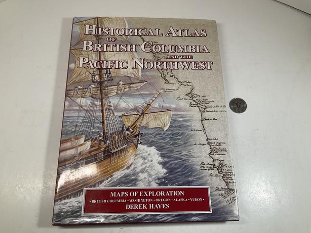
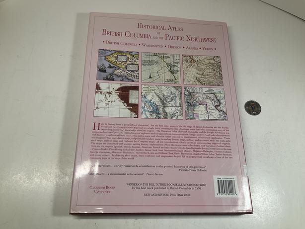
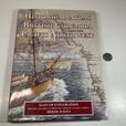


- AuthorDerek Hayes
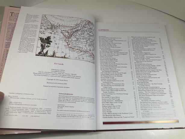
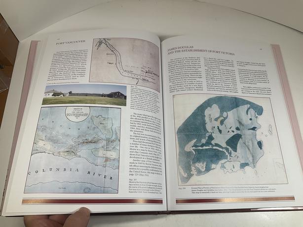
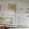
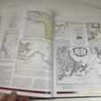
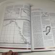
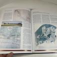
Historical Atlas of British Columbia and the Pacific Northwest - Maps of Exploration by Derek Hayes Hardcover, 1999, reprinted with revisions 2000, 208 pages The Historical Atlas of British Columbia and the Pacific Northwest (Canadian edition) and the Historical Atlas of the Pacific Northwest (US edition) is a unique collection of over 320 original maps of explorers and navigators from four centuries of voyages and overland treks of exploration and discovery to the northwest coast, plus native maps, and a host of others selected for their interest or historical significance. There are imaginary and speculative maps, old political boundary maps, boundary dispute maps, military and spy maps, bird’s eye maps, gold rush maps, railway maps and Hudson’s Bay Company maps. All are reproductions of hand-drawn or contemporary engraved originals. The maps are combined with context-setting history, explanations of how the maps came to be drawn, and the history behind them. See pictures Pickup in Langford Cross posted